
Middle East: “LYNEports Collaborates with Dunes Aero”
U.S-based LYNEports, a developer of infrastructure for the advanced air mobility (AAM) sector, has announced a collaboration with Saudi drone-related company, Dunes Aero, who specialise in advanced mapping and high-resolution aerial imagery, reports a press release.
Through this partnership, LYNEports will integrate Dunes mapping capabilities directly into its AI-powered planning platform.
This allows for:
: Seamless integration of high-modality drone imagery into LYNEports platform for Saudi projects.
: More accurate and dynamic planning of droneport and vertiport infrastructure.
: Strengthening the collaboration between global planning software and local drone innovation.
: Together, the two companies will enable the future of data-driven, sustainable and heritage-sensitive air mobility planning in Saudi Arabia and beyond.
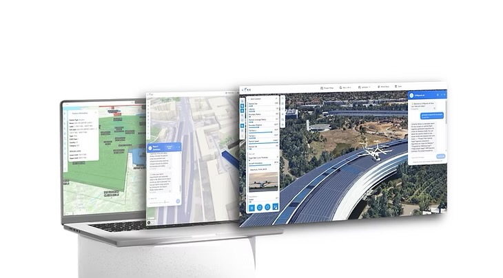
LYNEports Platform
Meanwhile, Dunes Aero announces the launch of the Dunes Aero Ground Control Station (DGCS) on its website. This is available for purchase and can be downloaded from:-
https://www.dunesaero.com/dgcs
Developed 100 percent in-house in Saudi Arabia, DGCS is the first Arabic drone control software designed to empower operators across industries. This comes with:-
: Full Arabic & English support.
: Multi-drone mission control.
: Integrated drone simulator for training.
: AI-powered features for smarter, safer operations.
For more information
(Top image: LYNEports/Dunes Aero)
For the latest news, insights and content regarding the global Advanced Air Mobility market, please join the following eVTOL Insights channels: WhatsApp, Facebook, Instagram, Spotify, Apple Podcasts, YouTube, X and LinkedIn.